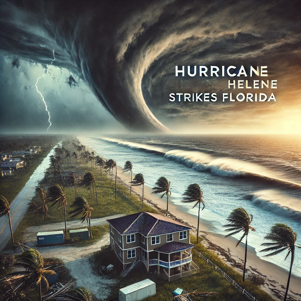
Hurricane Helene has rapidly intensified into a catastrophic Category 4 storm, now bearing down on Florida’s Big Bend area, marking one of the most severe hurricanes to strike this region. Authorities and emergency services are in high alert, as the hurricane promises not only massive wind destruction but also unprecedented storm surges.
The coastal communities have already seen significant impacts, with about a million customers losing power due to the ferocious winds. In places like Fort Meyers Beach, rescue operations are underway, with local law enforcement fully mobilized to address emergencies. Tallahassee, Florida’s capital, faces its own set of challenges. Known for its dense tree coverage, the city is at severe risk of having trees downed onto homes and roads, exacerbating the potential for extended power outages.
Meteorologists are particularly alarmed by the rapid intensification of Hurricane Helene, which leapt from a Category 1 to a Category 4 storm in less than a day. This is attributed to the unusually warm waters in the Gulf of Mexico, which are currently 2 to 4 degrees above average. The storm’s barometric pressure has dropped to 938 millibars, placing Helene among the top 10 strongest storms to ever make landfall in Florida.
Officials have stressed that the window for safe evacuation has closed, and those in the storm’s path should now focus on securing their safety indoors. The storm surge is expected to reach up to 20 feet in some areas, levels that are considered unsurvivable. As Helene continues its path, it is forecasted to move quickly across Southern Georgia and into parts of South Carolina, leaving a trail of destruction and challenging rescue and recovery efforts.
Emergency services are on high alert, and citizens are urged to heed all warnings and stay informed as the situation develops. The hurricane’s rapid movement means effects will be felt across a wide area in a short amount of time, emphasizing the need for preparedness and caution in the coming days.


